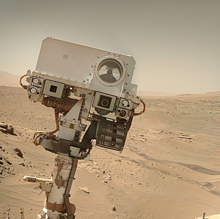
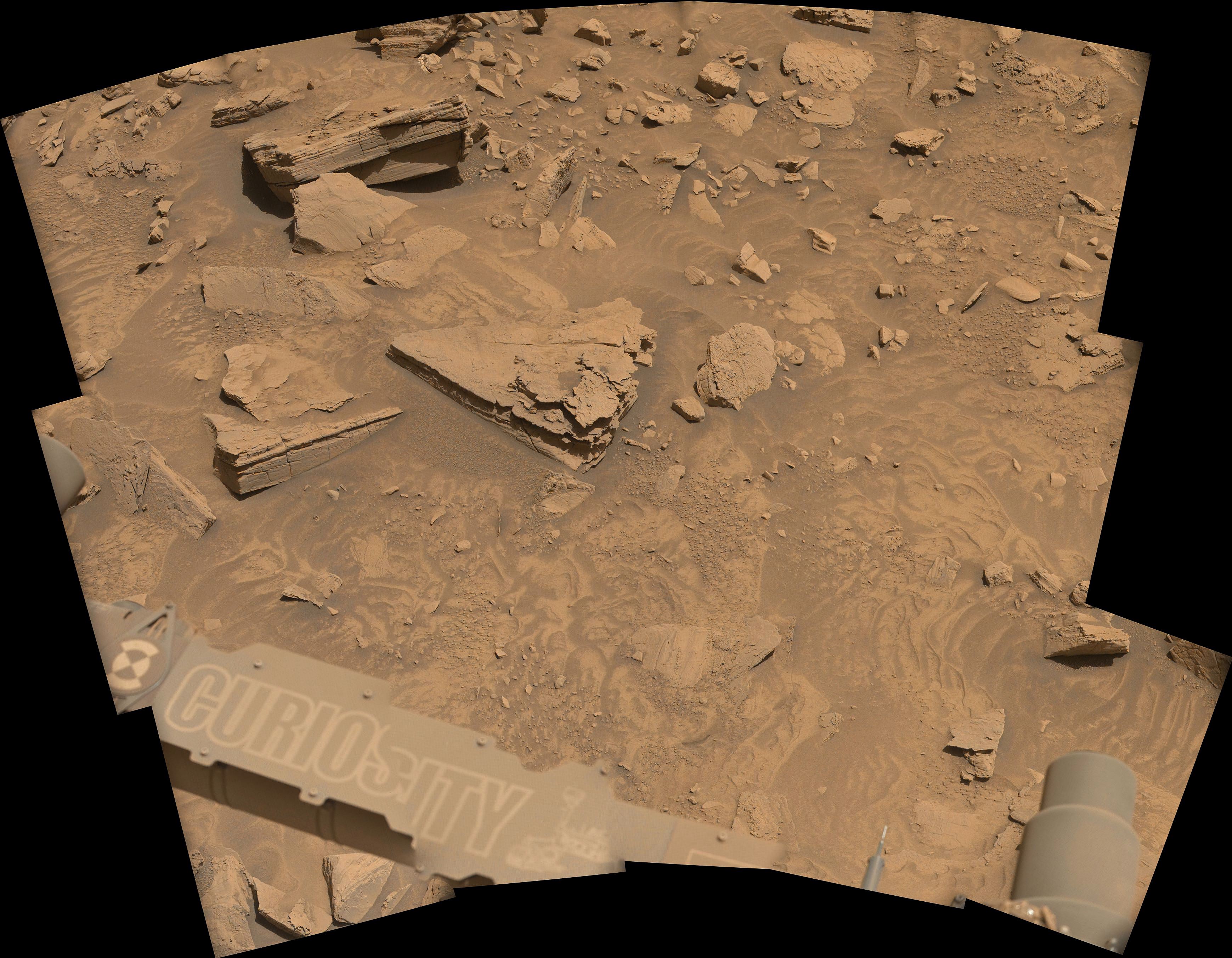
L-MastCam mosaic assembled in MS-ICE from 15 post-drive Bayer reconstructed images.
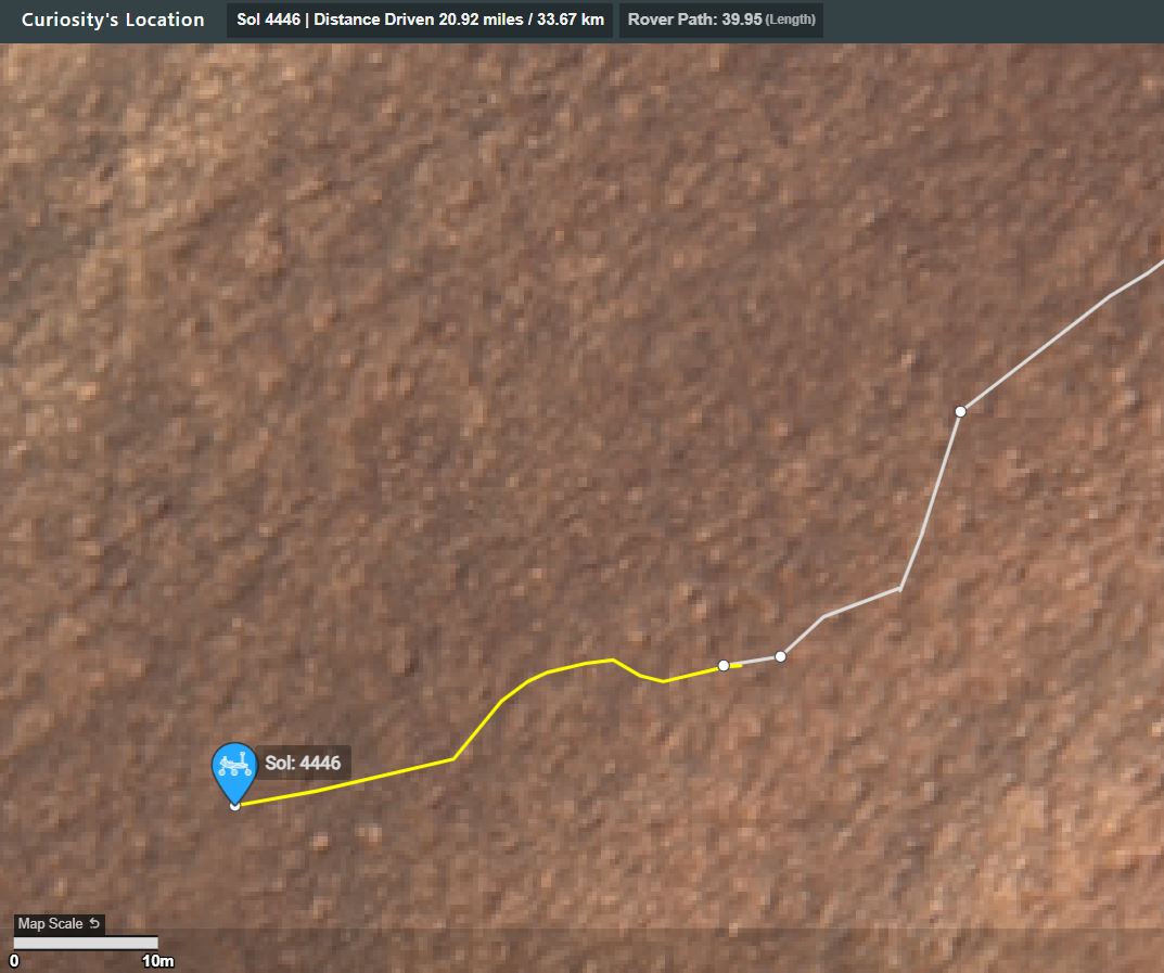
Here’s the drive data
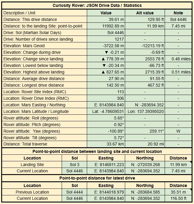
Map: The drive path is shown in yellow, there is a scale bar, North is up. Note the short drive East to free itself from the rock that stopped the previous drive short, before it drove to the West.
You must log in or register to comment.
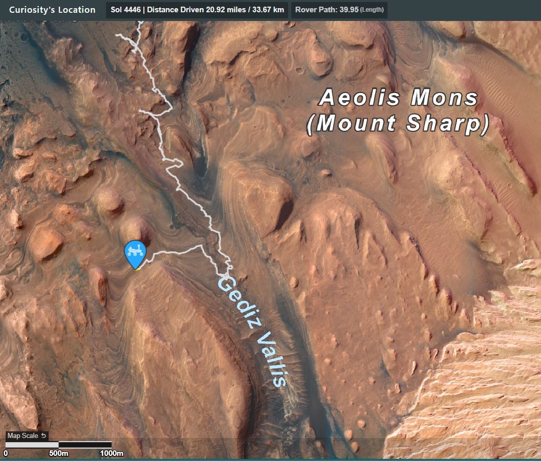
A wider view of the traverse (1km scale bar)